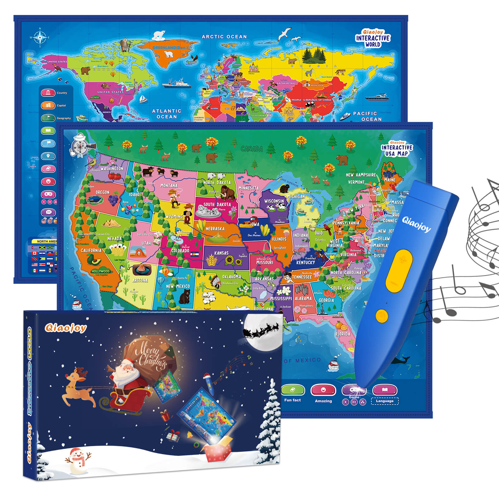
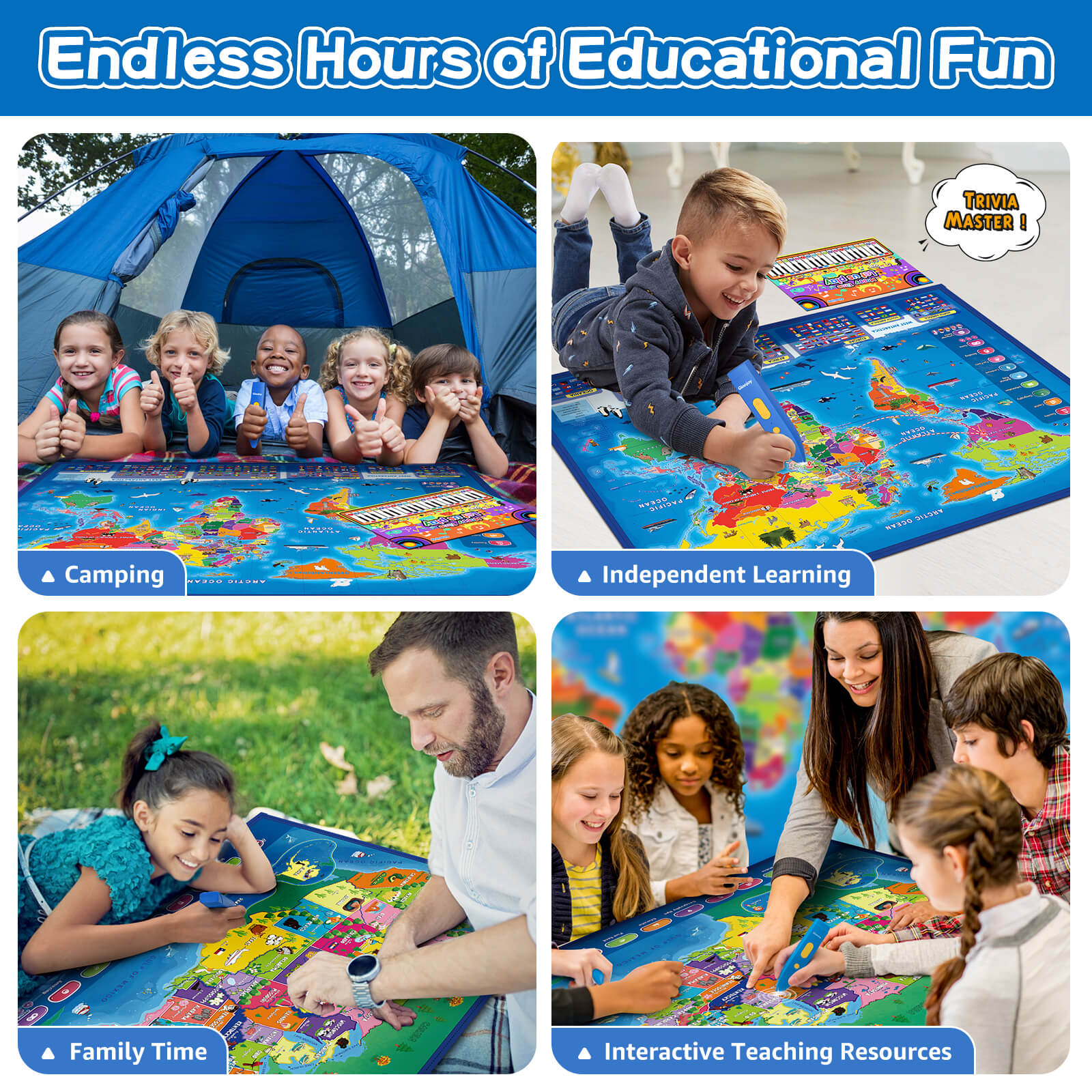
Get Interactive Map – Educational Poster for fantastic music combined with images. Features bilingual audio (English and Spanish) and 5500+ funny or weird geography audio outputs. Has original anti-repetitive sound design that prevents long time boring use. The map is scaled down according to the standard size of the actual earth, including national borders and regional lines, rivers, lakes, oceans, islands, latitude and longitude lines. This toy will help your child to recognize 195 countries and national flags.
Evaluation comments:
“This is an amazing interactive map. With the use of a magic wand, all you have to do is touch what you want to know on each map (state, capitol, geography tips, fun facts and so many other choices) and the wand will tell you the information. You can also use the wand in English or Spanish so a good way to practice a different language. The sound on the wand is great and the information is educational and interesting. This is a very fun and entertaining activity.”
“I love this activity. It is easy to use, right out of the box. The map is large and easy to read, the wand works well. I learned a lot of interesting facts trying it out. For example, “Chad is the home of some of the best camel racing in the world.” And “Greenland has the cleanest air and water in the world.” This is a great activity for teachers to have in the classroom. There are two maps included- one of just the United States and one of the world. There is also a keyboard that can be played with the magic wand, the song Jingle Bells is all spelled out. Super fun.”


